Name of state: Slovak Republic
Total population: 5 404 555 (2012)
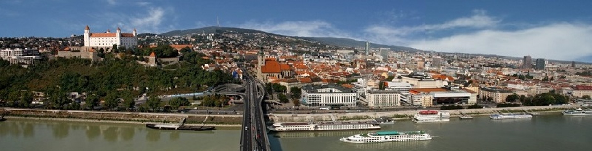
Capital city: Bratislava, population: 432801
Regions: 8 self-governing regions (Bratislava, Trnava, Trenčín, Nitra, Žilina, Banská Bystrica, Prešov, Košice region)
Geographic location: Middle Europe
Area: 49 035 km2
Climate: Moderate climatic zone, with changing 4 seasons, average temperature in winter -2°C (the coldest month January, the coldest area High Tatras), in summer 21°C (the warmest months July and August, the warmest area Danube Lowlands). In some mountain ranges the snow remains on average 130 days per year.
Longest river: Váh, Riverswhich flows into theDanube: Morava, Váh, Hron, Ipeľ
Danube length through the country: 172 km
International dialing code: +421
Official currency: EURO (from 1/1/2009) + National / Central bank (currency exchange rate) link – Národná banka Slovenska, www.nbs.sk
National Internet domain: .sk
Official language(s): Slovak
The most used foreign languages: English, German, Hungarian
Official script: Latin alphabet
National holidays: Public Holidays:
| January 1 | New Year's Day & Slovak Independence Day |
| January 6 | Epiphany and Christmas Day for Orthodox Christians |
| March/April | Good Friday |
| March/April | Easter Monday |
| May 1 | May Day |
| May 8 | End of World War II in Europe |
| July 5 | Holiday of Ss Cyril & Methodius |
| August 29 | Anniversary of the 1944 Slovak National Uprising (SNP) |
| September 1 | Constitution Day |
| September 15 | Day of Our Lady of Seven Sorrows (Slovakia's patron saint) |
| November 1 | All Saints Day |
| November 17 | Day of the Fight for Freedom and Democracy |
| December 24 | Christmas Eve |
| December 25 | Christmas Day |
| December 26 | St Sephen's Day |
Time zone: Central European time (+ 1 hour from GMT)
Electricity: Slovakia, like most other European countries, has a 220-volt AC, 50Hz mains power supply and uses two-pin continental plugs.
 EN
EN DE
DE